FEMA Flood Map Service Center
Visit Search All Products to access the full range of flood risk products for your community
View the FEMA's National Flood Hazard Layer (NFHL) Viewer (arcgis.com)
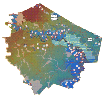
Fort Bend County Floodplain Map
Effective April 2, 2014
Updated flood insurance rate maps are now available to all Fort Bend County residents after an intensive five-year mapping project guide d by the Federal Emergency Management Agency (FEMA) and Fort Bend County.
Download / Print
- FIS Study Report [PDF]
- FEMA shape files [ZIP]
Free viewers are required for some of the attached documents.
They can be downloaded by clicking on the icons below.
